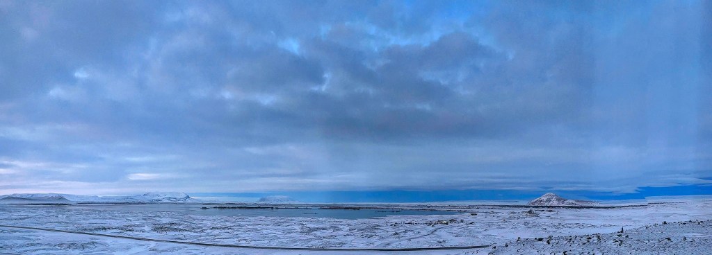
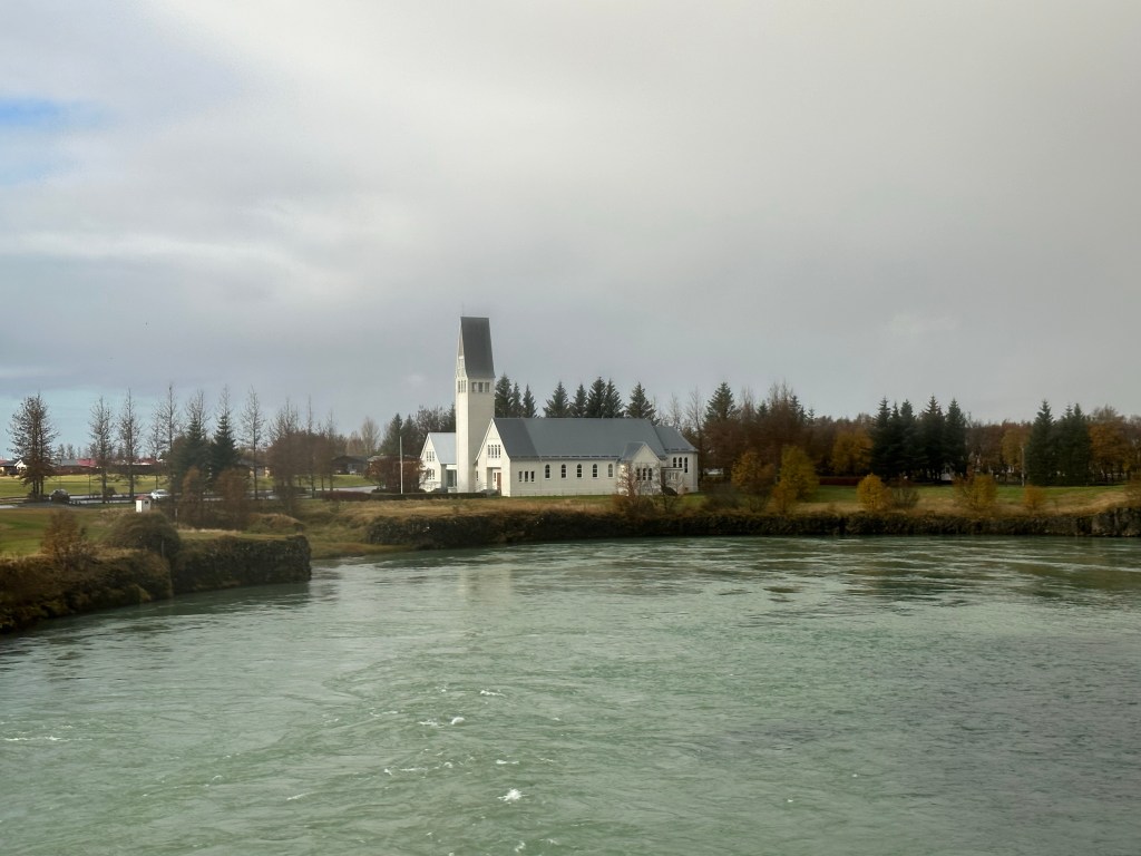
We spent two nights at the Fosshotel in Lake Myvatn, dining there both evenings. Myvatn is a calm, shallow lake at the heart of a volatile volcanic area that sits squarely on the Mid Atlantic Ridge. Nature’s violent masterpieces are everywhere: crazy colored mud pots, huge craters and jagged lava fields.. Most of the points of interest are linked by the lake’s looping road.
Morning View from Hotel
The classic tephra ring Hverfjall is an ancient and near symmetrical crater rising 452m and 1040m across. It is an awe-inspiring landmark in Myvatn.
Hverfjall
Next is the giant lava field at Dimmuborgir (literally Dark Castles). A series of walking trails runs through the landscape, utilized for some scenes in Game of Thrones. This area was created by the flow of a lava lake over a marshy area some 2300 years ago.As the hot lava spilled over the marsh, the water began to boil and the rising vapors created the area’s distinct lava pillars.
In the area is Krafla, one of Iceland’s most interesting volcanoes. The caldera is located along a 90km fissure zone in the north. It erupted nine times between 1974 and 1984. The west side is an active geothermal area, rich with fumoroles and solfataras (mud springs).
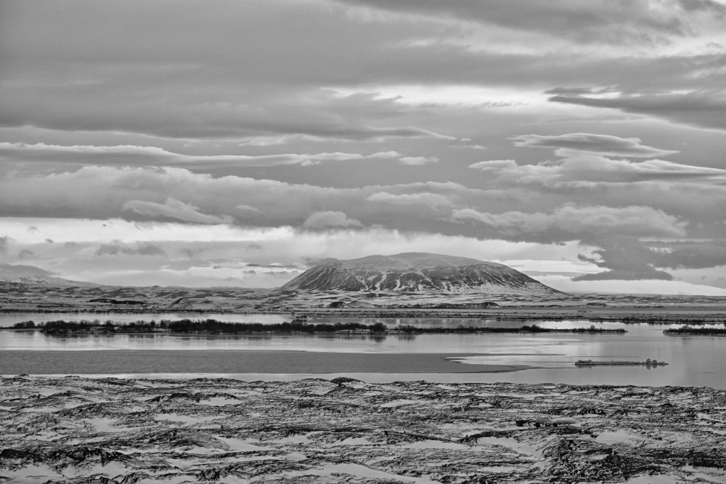
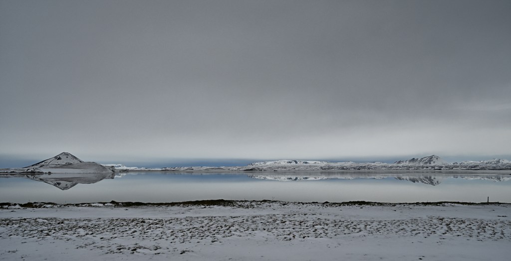
There are numerous fascinating structures and vistas around the lake. Here are a few.
After our companions enjoyed a swim in the thermal baths, we lunched at an interesting spot called the Vogafjos Cowshead Cafe. The cafe sits with a nice view in one direction, and the cowshead against the opposite wall complete with a window. The food was excellent.
Overnight Stay
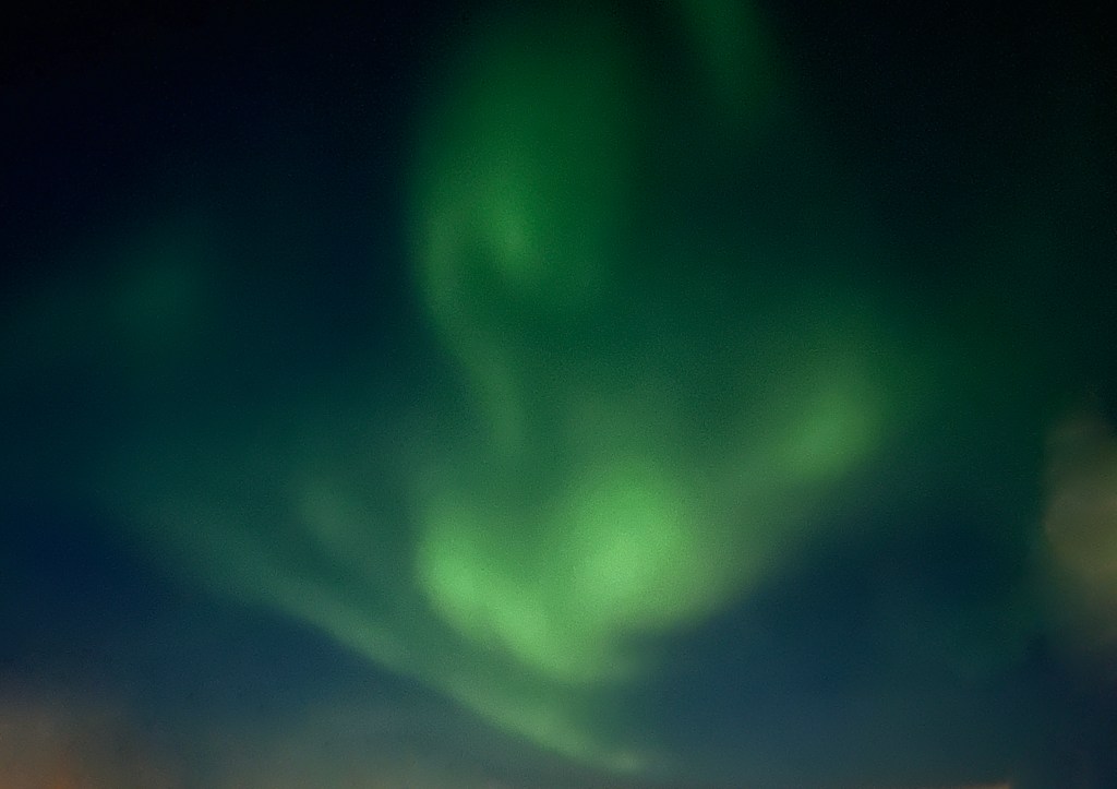
We spent a second night at The Fosshotel, and enjoyed another dinner there. After dinner we were treated to a brief view of the famous northern lights, our first and only view on the trip as many nights were cloudy. The first two images were shot by Karen on her cell phone.
Today we continued our tour eastward with a variety of stops along the south coast of Iceland. We visited the fascinating Lava Center, gazed at splendid waterfalls at Seljalandsfoss and Skogafoss and finished at the black sand beaches of Reynisfjara and the 120 meter high promontory of Dyrholaey. In the middle, we stopped for lunch at a casual cafe in the Hotel Anna, where the specialties were a very tasty lamb soup and Icelandic fish and chips.
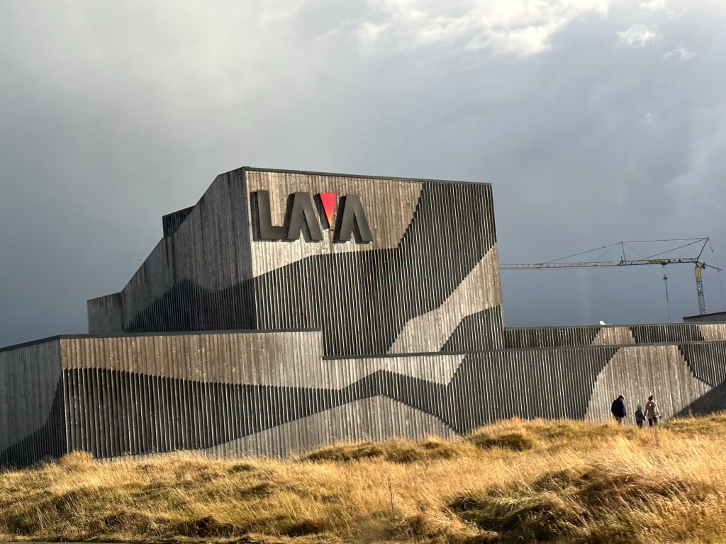
Lava Center
The Lava Center in Hvolsvollur is an interactive high technology exhibition depicting volcanic activity, earthquakes and the creation of Iceland. One can examine eruptions and lava flows, volcanic and rift systems, faults and glacial floods. The center has an elaborate monitoring system for surveying volcanoes and earthquake zones and activity. This is a must stop for anyone interested in understanding the geological makeup of the island.
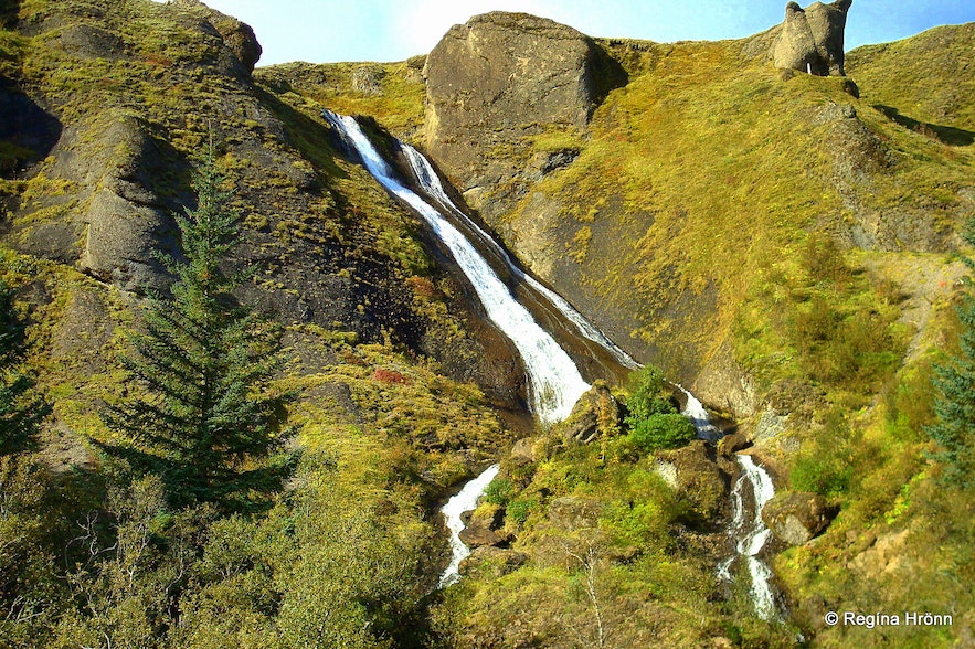
Seljalandsfoss
Next stop was this fairy tale-like waterfall – the only one in Iceland where you can walk behind the cascade on a footpath (no we did not as it was icy!). The 60m falls are part of the river Seljalandsa, and originate under the glacier Eyjafjallajokull.
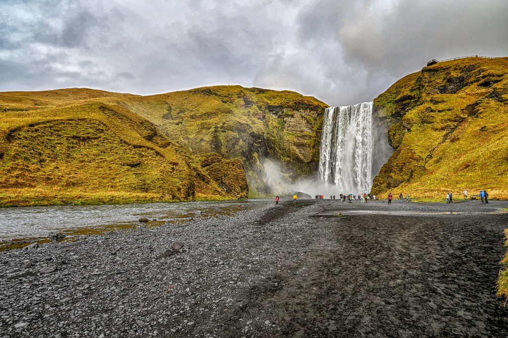
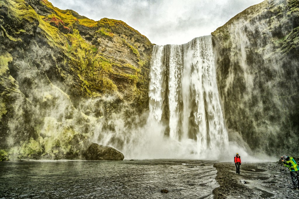
Skogafoss
Near the village of Skogar lies the magnificent 62m waterfall known as Skogafoss. There is a steep staircase alongside the waterfall that one can climb for giddy views, or one can walk to the foot of the falls and become shrouded in sheets of mist and rainbows. Legend has it that a settler named Prasi hid a chest of gold behind Skogafoss.
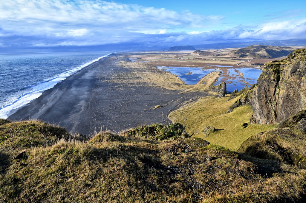
Dyrholaey
One of the south coast’s most recognizable natural formations is the rocky plateau and huge stone arch at Dyrholaey which rises dramatically from the surrounding plain 10km west of Vik.
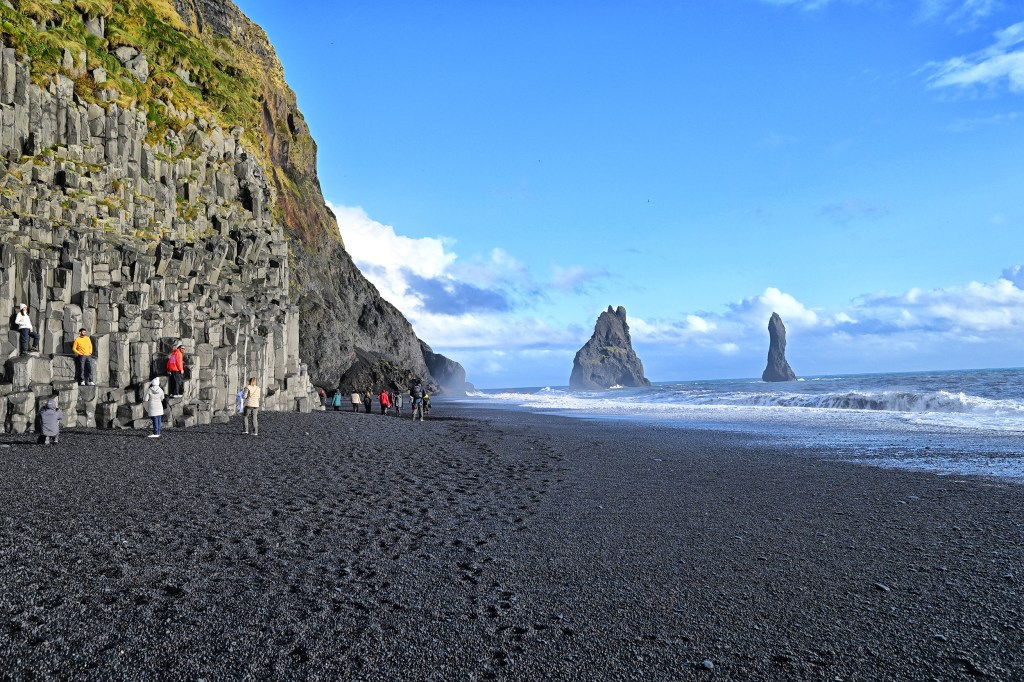
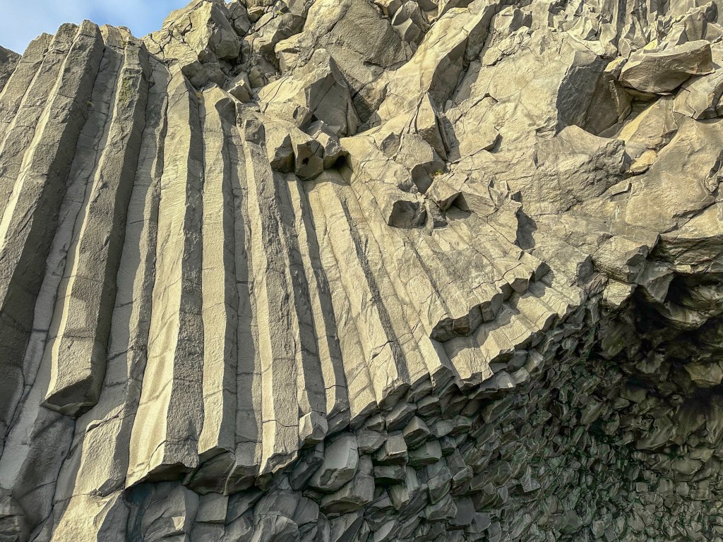
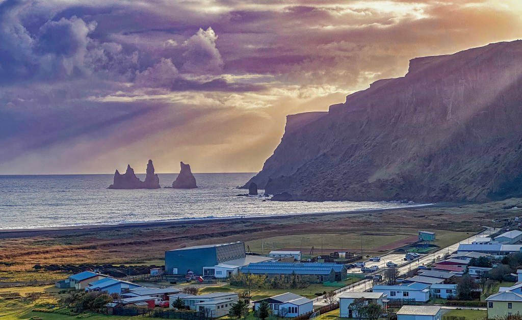
Reynisfjara
The black sand beach at Reynisfjara is backed by an incredible stack of basalt columns that look like a magical church organ. Immediately offshore are the towering sea stacks; tradition says they are the masts of ships that trolls were stealing when they got caught in the sun.
Dyrholaey from ReynisfjaraVolcanic StonesBlack sand beach and sea stacksBasaltBasalt
Vik
Icekland’s southernmost town and its’ rainiest, Vik is a booming hub for a beautiful portion of the south coast.
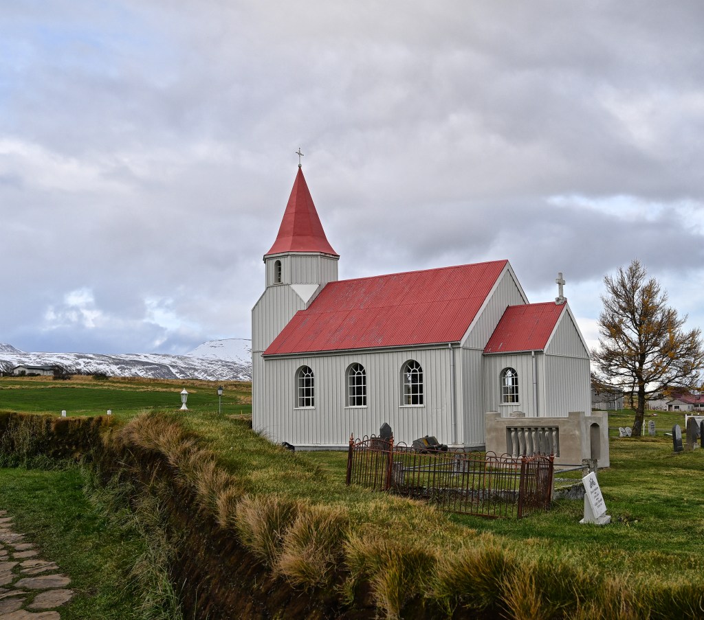
VikVik Church
Overnight Stay
We stayed overnight at the Magma Hotel close to Kirkjubaejarklaustur, and dined at their Bistro1783, named after the year that the volcano Lakagigar erupted. The rooms were little separate huts with grass covered roofs, each dated by a volcanic eruption; ours overlooked a small lake.
We recently returned from a trip to Iceland, long on our bucket list. The visit was not disappointing. Iceland is a beautiful country with fantastic geological features, wonderful scenery, friendly people and delicious food. Our land portion was arranged by Nordic Visitor, who provided a comfortable vehicle, a great guide/driver, hotel reservations and a planned tour of the famous Ring Road. The latter is a main highway which essentially circles the island, and provides access to a multitude of amazing sights.
We started in Reykjavik of course. Our guide was a delightful and knowledgeable gentleman and Icelandic native, Johannes Vilhjalmsson. I think the best way to describe our journey is to do a blog post covering each day of the trip around the ring road. First a few fun facts.
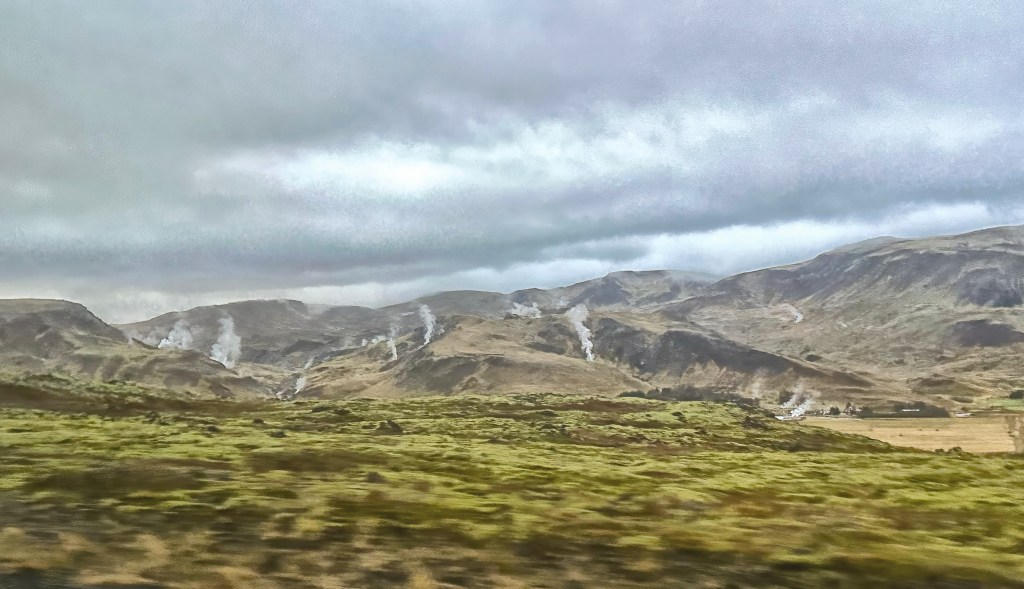
Iceland is an island of about 100, 000 square miles (twice Kentucky) with 360,000 people and more than 400,000 sheep. It was first settled by a Viking chieftain in 874 AD, and has had a governing parliament since 930 AD. It was under Norwegian then Danish rule until independence in 1918. Geologically the island has a tectonic plate rift down the middle between the Americas and the Eurasian. There are over 200 volcanoes on the island, some 30-40 active; one erupts about every five years. There is extensive geological activity including geysers and steam vents. The country is 96% green in the energy area with extensive hydro and geothermal plants. The only native mammal is the arctic fox. Polar bears are not native although do visit from time to time.
As one might expect, much of the island is covered in lava, there are numerous glaciers, rivers, waterfalls and so on. The beaches are primarily black volcanic sand. Thus the scenery is spectacular and volcanic in nature, although farming is very extensive as is the raising of sheep and cattle. The island is also quite populated with purebred wild horses.
Our first day of touring was the famous Golden Circle, a route running basically east from Reykjavik. We visited Pingvellir National Park, Geysir and Gullfoss.
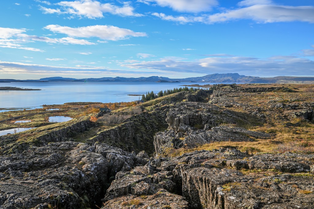
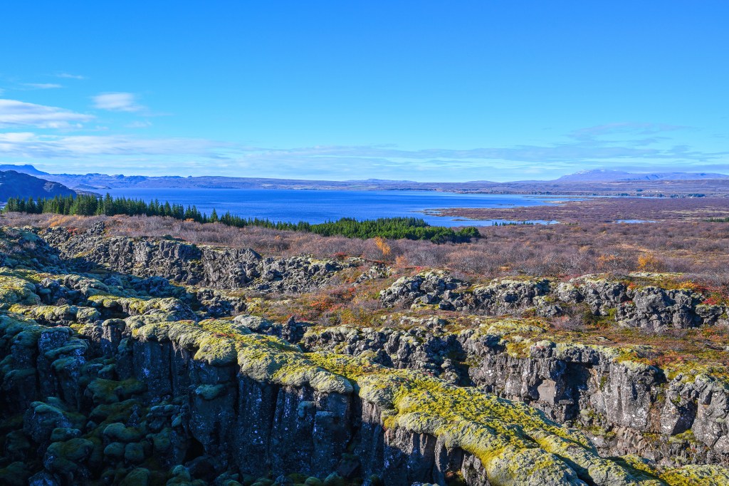
Pingvellir
One of the iconic stops on the Golden Circle route, Pingvellir is Iceland’s most important historical site. The Vikings established the world’s first democratic parliament here in AD 930. The site has a superb natural setting, in an immense fissured valley caused by the meeting of the North American and Eurasian tectonic plates, with rivers and waterfalls. Filling much of the rift plain south of the site, Pingvallavatn is Iceland’s largest lake at 84 sq km.
PingvallatnPingvallatn and RiftRift and Site of ParliamentWaterfall into RiftGrowth on Rift Wall
Geysir
One of Iceland’s most famous tourist attraction, Geysir is the original hot-water spout after which all geysers are named.The Great Geysir has been active for 800 years, but seldom spouts today. The current attraction is the very reliable geyser Strokkur, which spouts at least every ten minutes. The geysers are surrounded with an undulating, hissing geothermal area filled by steaming spouts.
StrokkurGeothermal Activity at Geysir
Gullfoss
Iceland’s most famous waterfall Gullfoss is a spectacular double cascade dropping 32 m back into the Hvita River. The spray from the falls is rather intense, making timed tripod images difficult to get without the lens being covered in water droplets.
Gullfoss
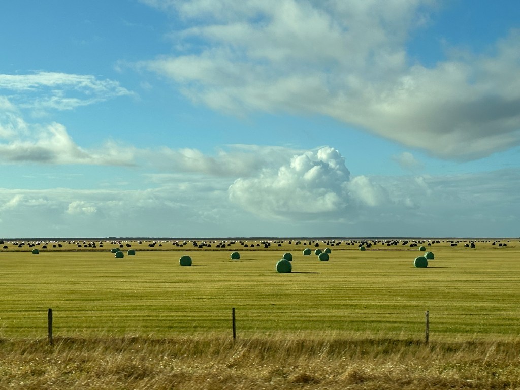
During our tour of the Golden Circle, we were treated to multiple views of the beautiful countryside.
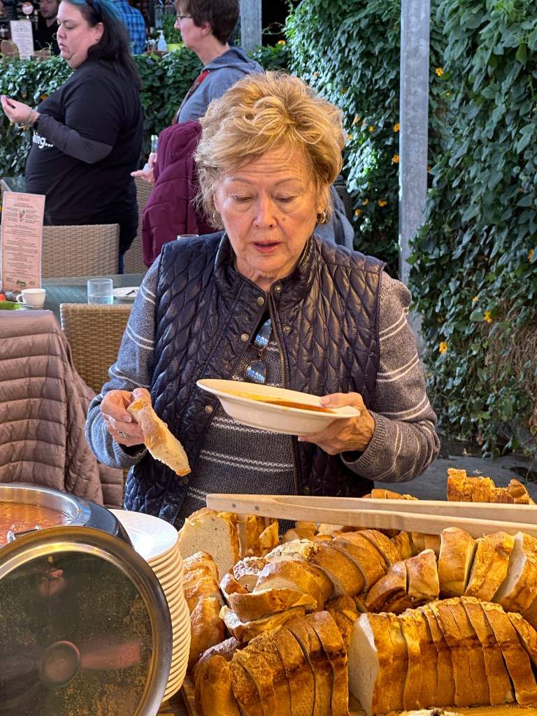
Fridheimar Tomato Farm
A side attraction on the Golden Circle is a must-stop at the Fridheimar tomato farm, where tomatoes are grown year round in a series of greenhouses heated by geothermal water. The farm also has a restaurant contained within one of the greenhouses which offers refillable bowls of – yes – tomato soup with wonderful Icelandic bread.
Overnight Stop
As a finale to each blog post I will post information on the evening stops, both hotel and restaurant. On this evening we stayed at the Hotel Grimsborger in Grimsnes, a lovely five star hotel convenient to the Golden Circle. We also dined in the hotel restaurant, also excellent.
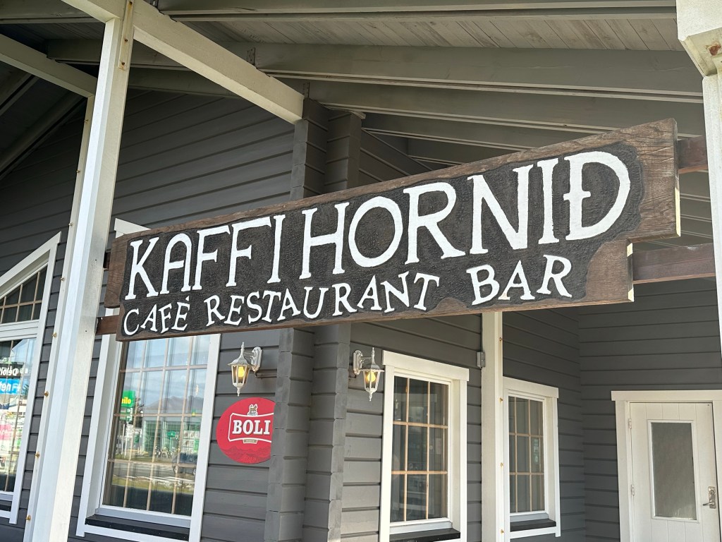
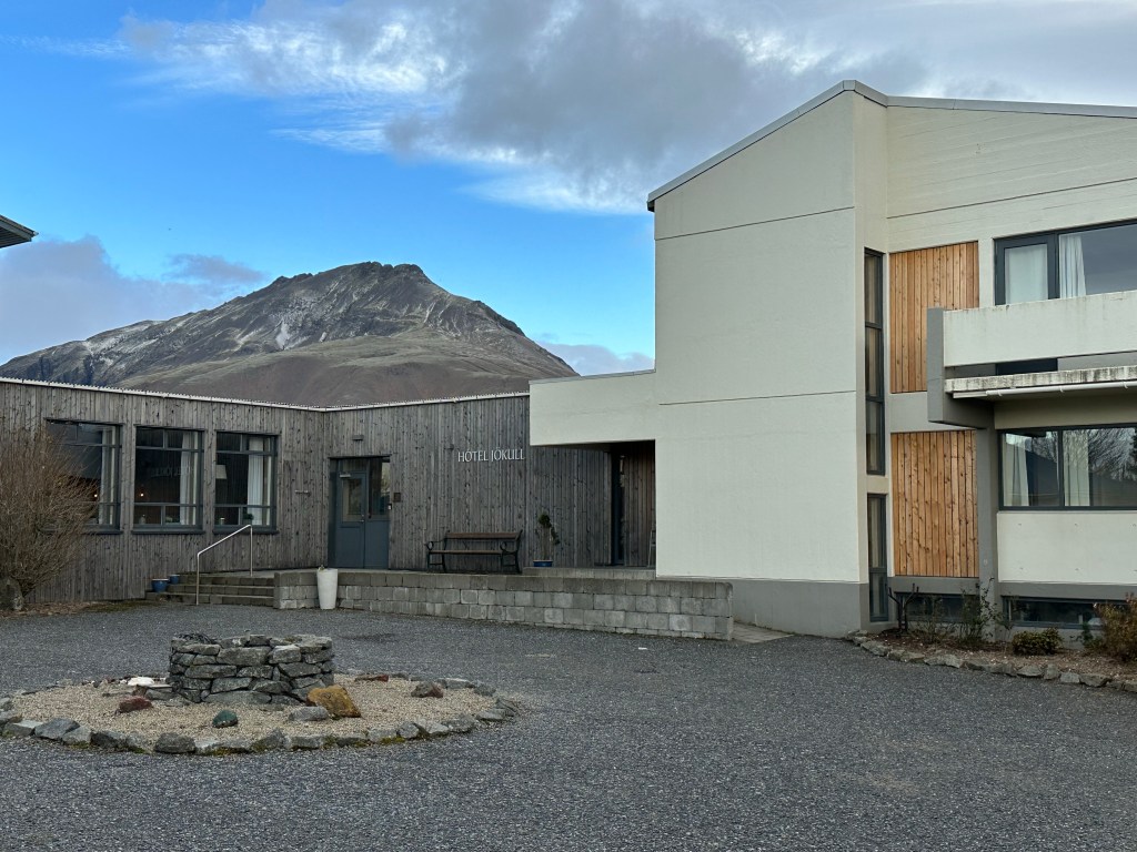
Our next morning began with more waterfalls, then a drive past Skaftafell and Vatnajokull National Park and then the spectacular Jokulsarlon and Diamond Beach. We then stopped in Hofn for lunch at Kaffihornid, a local cafe with great soups and fish and chips – yes again! We had intended to continue north, but found that the road – among many in Iceland – had been closed because of rain, snow and especially high winds. So we had a slow afternoon resting at the local Hotel Jokull, followed by perhaps our best meal in Iceland at Otto Natur and Drykker.
Systrafoss
This is Foss a Siou, a lovely waterfall draining from Lake Porutjorn. The rock formations are fairy talish in nature. This is located near Kirkjubaejark.
Systrafoss
This waterfall translates to Sister’s Falls, named after the nuns, and is located within a small village., It is uniquely a double waterfall (picture borrowed).
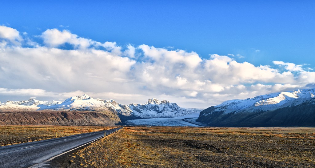
Skaftafell
After a drive we began to see a large mountain range, identifies as Skaftafell located within a very large national park. The primary glacier is known as Skaftafellsjokull. This area is a huge national recreational area, and is simply spectacular.
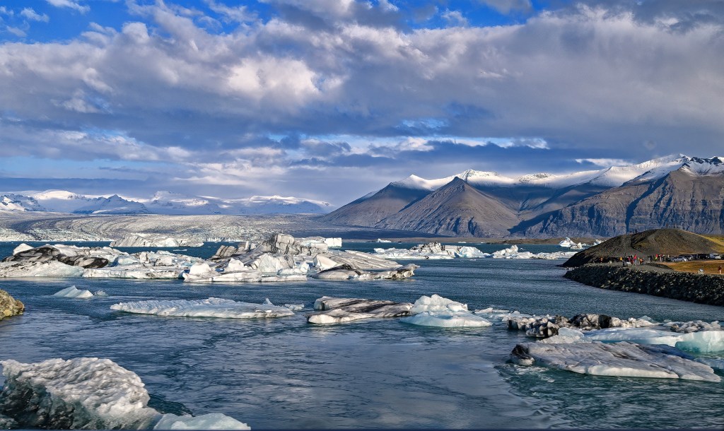
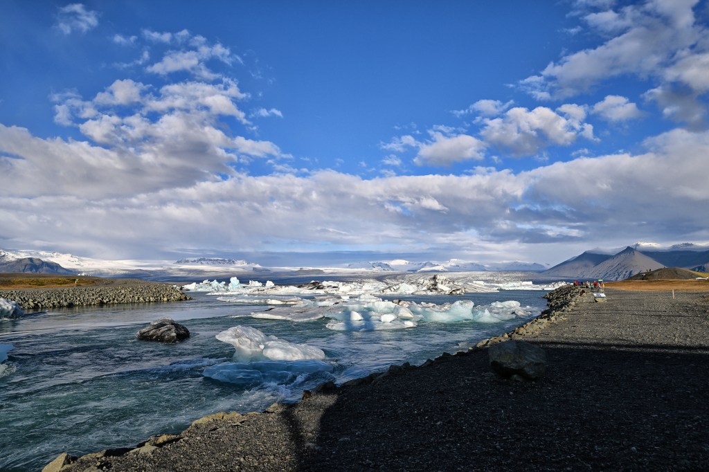
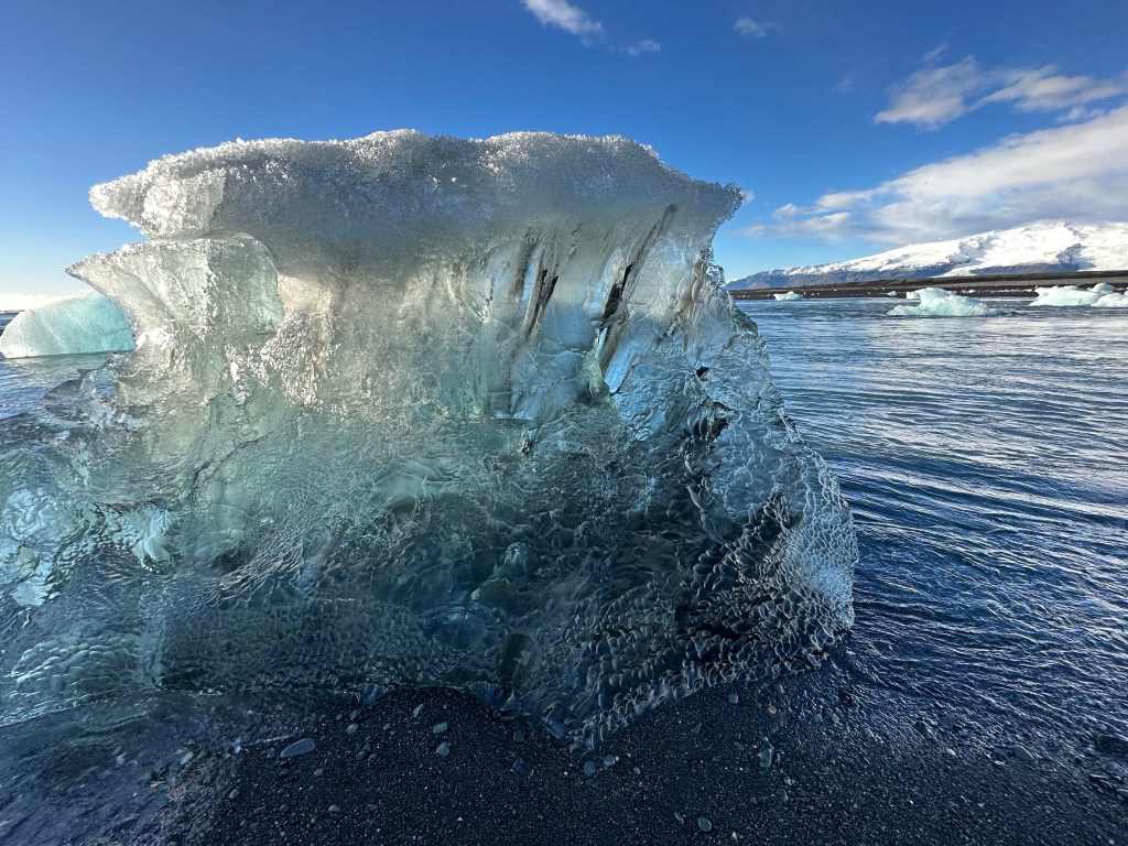
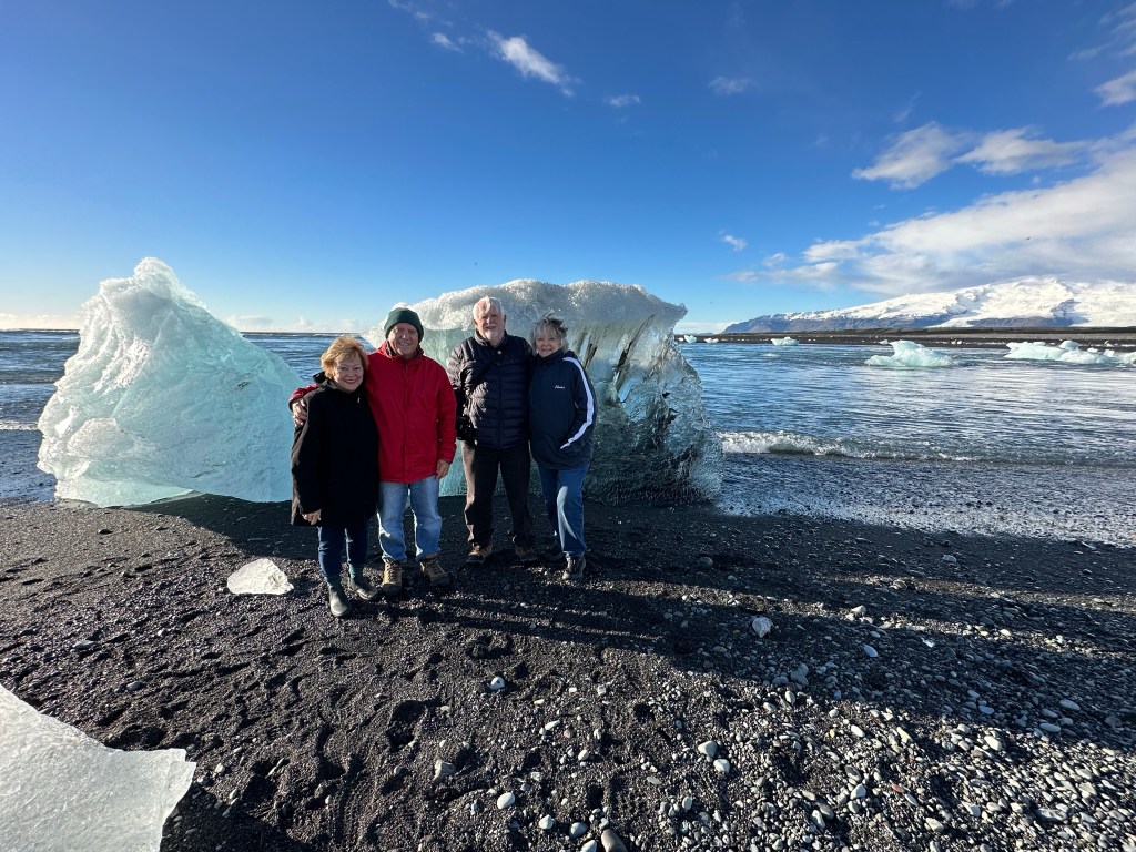
Jokulsarlon
The next sight was the glacier lagoon at Jokulsarlon, filled with large chunks of ice that had broken off the glacier. These floated around the lagoon, and eventually some floated into a short river, the Jokulsa, into the sea.
Diamond Beach
The icebergs are often blown back to the black sand beach by wind and tides, and form a spectacular vision of “diamonds” on the black sand.
Hof
On to Hofn and lunch. And learning of closed roads.
We left the Myvatn area and headed west towards Akureyri. The stops today included Godafoss (waterfall of the gods), then the town of Akureyri followed by a drive through the countryside with a brief stop at a very old farm, now open as a museum.
Godafoss
Godafoss rips straight through the Bardaralur lave field. It is definitely one of Iceland’s most beautiful waterfalls. Legend has it that the law speaker Porgeir was forced to make a decision on Iceland’s religion. On his way home he tossed his pagan carvings of the Norse gods after declaring the country would be a Christian nation. Thus the waterfall became known as waterfall of the gods.
Akureyri is Iceland’s second city with only 18000 residents. It has cool cafes, quality restaurants and a late night bustle within a very scenic setting. It nests at the head of Eyjaforour, Iceland’s longest fjord, at the base of snow capped peaks. We stopped for lunch at Strikkid, followed by a brief tour of the city and surrounding hills.
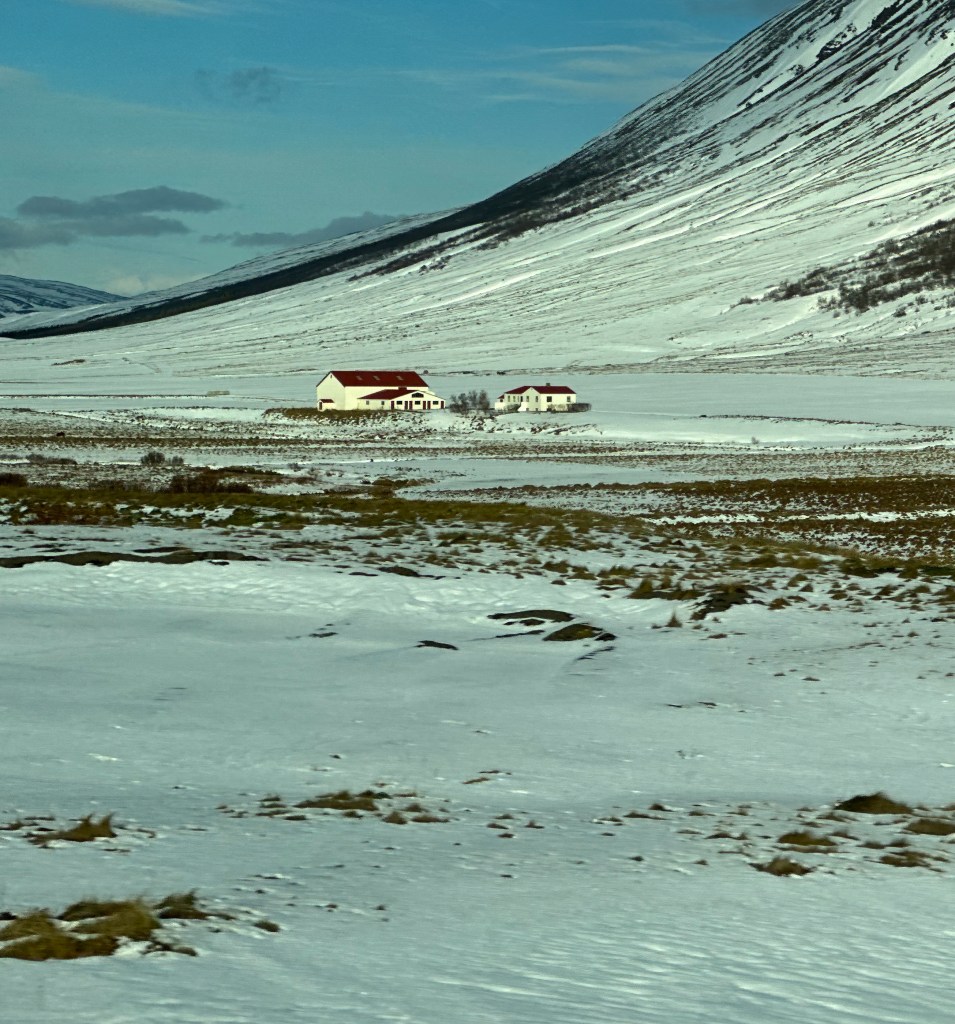
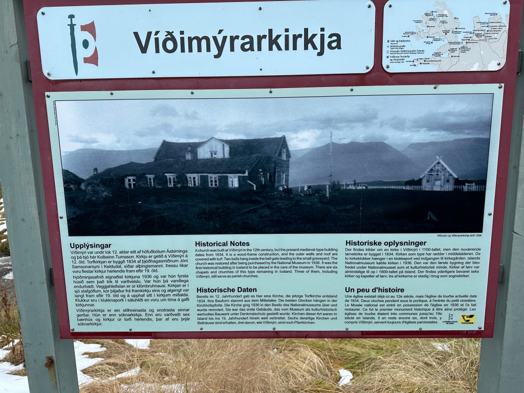
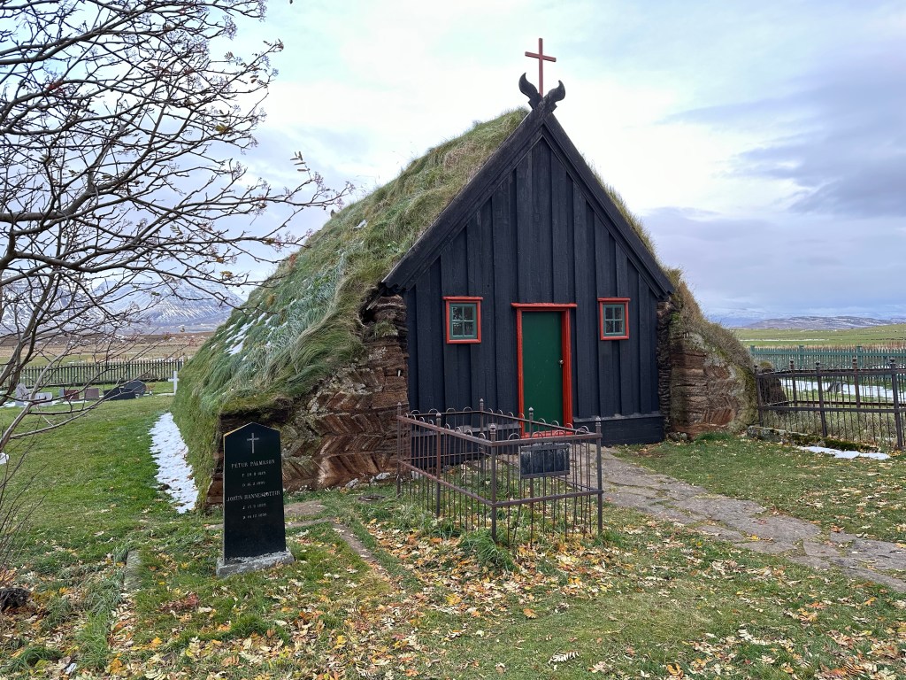
We then headed towards Laugarbakki, our stop for the night. But we did stop first at the old farm at Vidimyrarkirkja, which dated back some 200 years and some of the buildings have been restored. Of particular interest was the old churches.
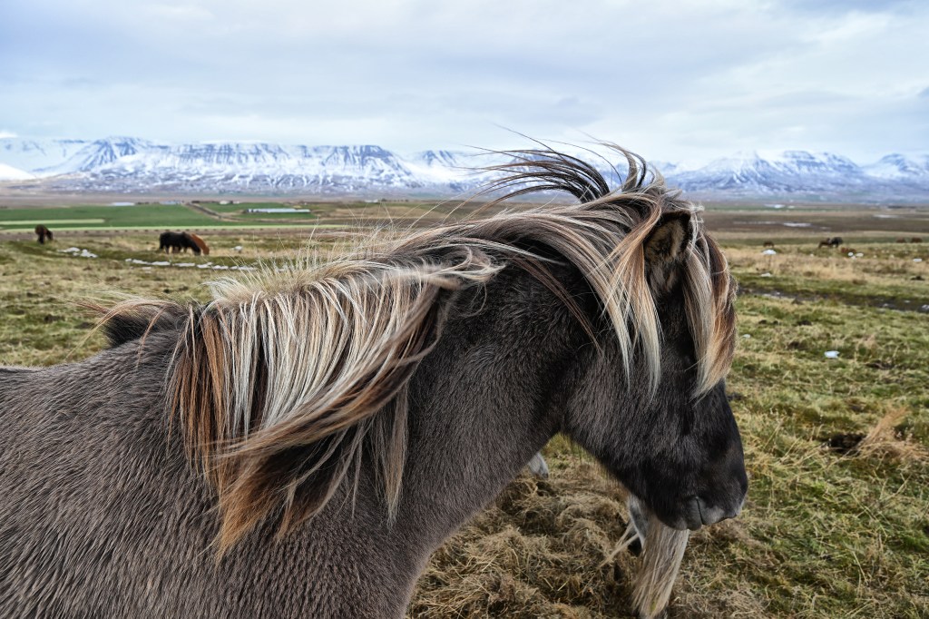
We soon had an opportunity to see some of the Icelandic horses closeup. These were developed from ponies brought from Norway in the 9th and 10th centuries. They are purebred as importation of horses is not allowed. The breed is pony sized, long lived and hardy. They are seen widely, and used for sheep herding and for leisure activities.
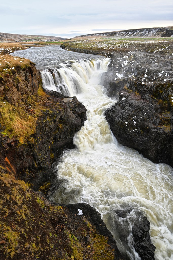
Our last stop was what our guide called a “canyon”, which turned out to be quite spectacular. Kolugljufar waterfall runs over into a rather deep canyon in a relatively flat area. Legend says that the troll Kola sleeps in the canyon, and fishes by hand for salmon or arctic char.
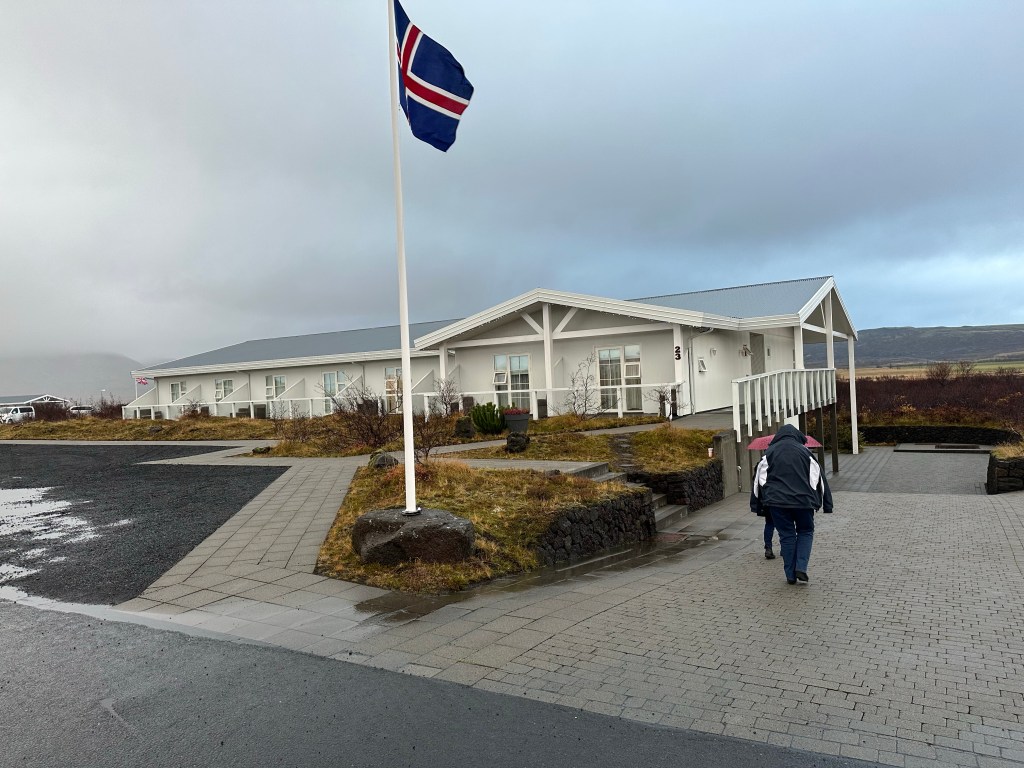
Our overnight stay with a fine meal was at the Hotel Laugarbakki.
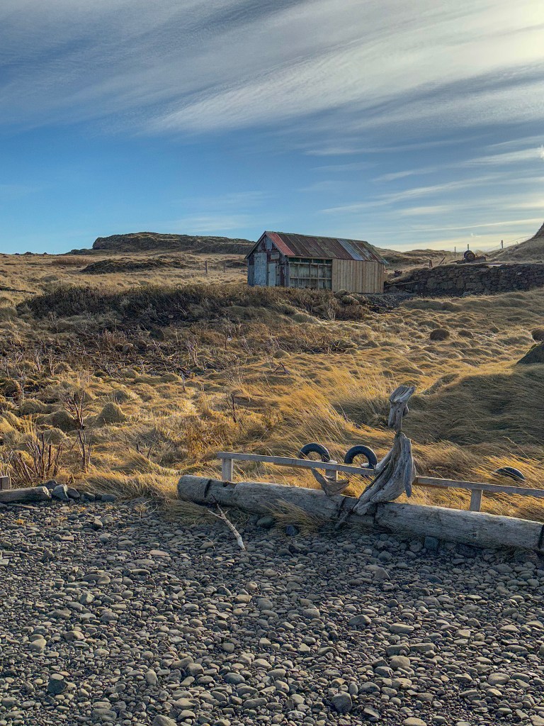
We waited for the road to open until late morning, then off we went to the north. Lots of wind still, and Johannes had to be very diligent at the wheel. We left Hofn, headed for Djupivogur, where we were supposed to have stayed the night before. A few scenes along the way:
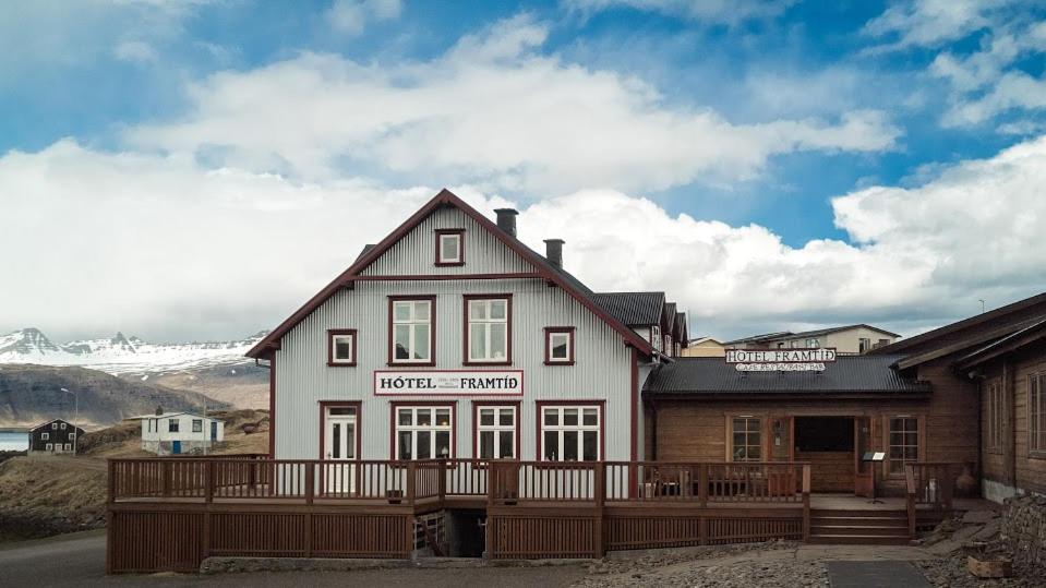
We reached Dujupivogur and stopped for lunch at the Hotel Framtid, situated right on the harbor.
This village has a very interesting exhibit called the Eggs at Merry Bay. The artist Sigurdur Gudmundson has created a series of 34 giant Chinese granite eggs which represent the eggs of each of the nesting birds of this area.
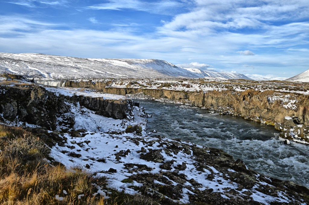
From Djupivogur, we drove for a few hours back and forth through a series of rather large fjords, then up and through a long mountain tunnel and on to the snowy highlands, eventually reaching Myvatn.
Our nephew Christopher from London came to Austin recently, and we wanted to do something special. So we decided to drive to Big Bend country in the west of Texas. So this is a bit of a travelogue of a five day “circle tour” of this beautiful and different area. A fast way to get to Big Bend country is to head west on I-10. However we chose a more scenic route, down 281 to the fringes of San Antonio, then west on 90 through Uvalde, Del Rio and Marathon.
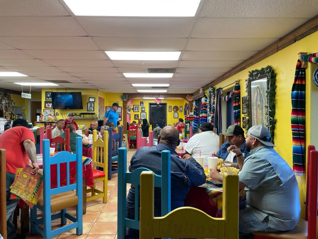
Our first brief stop after about four hours of driving was on the outer part of Del Rio at Julio’s for a tasty family style Mexican lunch – Chili Rellenos and fajitas hit the spot.
Then we hit route 90 again. Shortly after Del Rio we drove across Lake Amistad (from the Spanish word for friendship), a reservoir that borders the US and Mexico. Located at the confluence of the Rio Grande, Pecos and Devils Rivers, the US portion is a National Recreation Area.
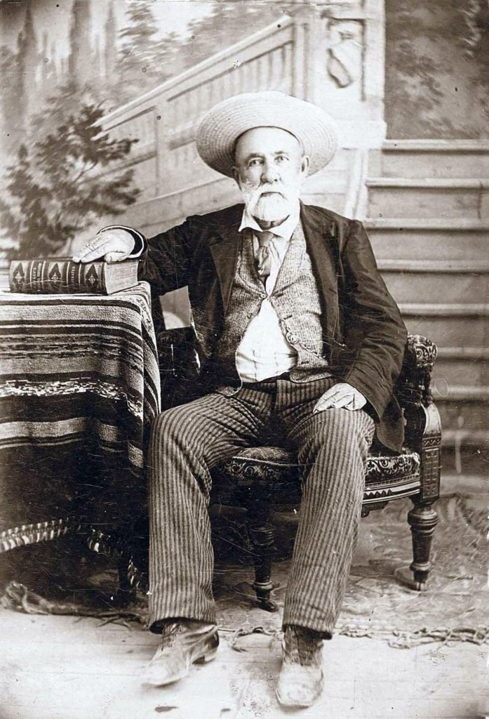
Since we crossed the Pecos River shortly after Amistad, we were now “west of the Pecos” and soon reached the small town of Langtry, home of the museum honoring the famous Judge RoyBean. We stopped to investigate. The museum is quite well done, consisting of a very nice visitor center, the original courthouse/bar and lovely gardens heavily filled with a wide variety of cactus. The center was “manned” by a lovely lady named Maggie, who filled us in on the history. Judge Bean was known as the “Law West of the Pecos“. He was the west’s most colorful justice of the peace, and he ruled America’s last frontier in the last decades of the 19th century.
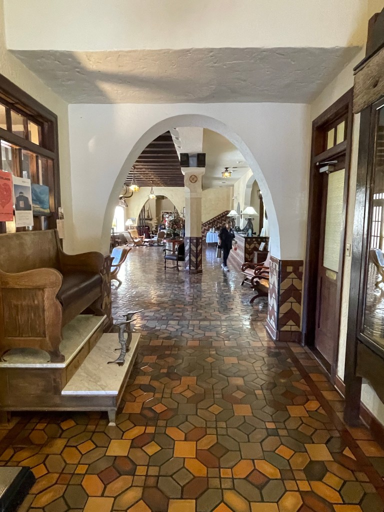
Our first overnight stop was at the Gage Hotel in Marathon, built in 1927 by famed architect Henry Trost for pioneer Texas rancher Alfred S. Gage. The beautifully restored Gage Hotel is an excellent example of Mission and Spanish-style design. Marathon was established in 1882, and was a main shipping point for large Brewster county ranches and the newly built railroad. It is now a gateway to Big Bend National Park 40 miles to the south.
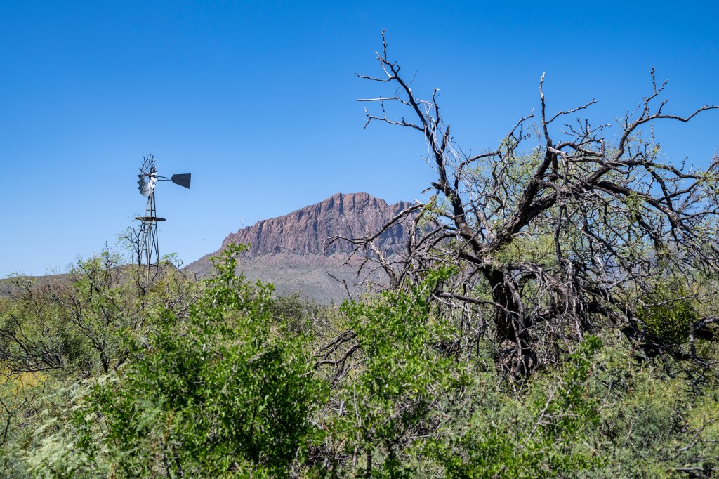
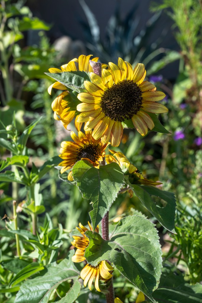
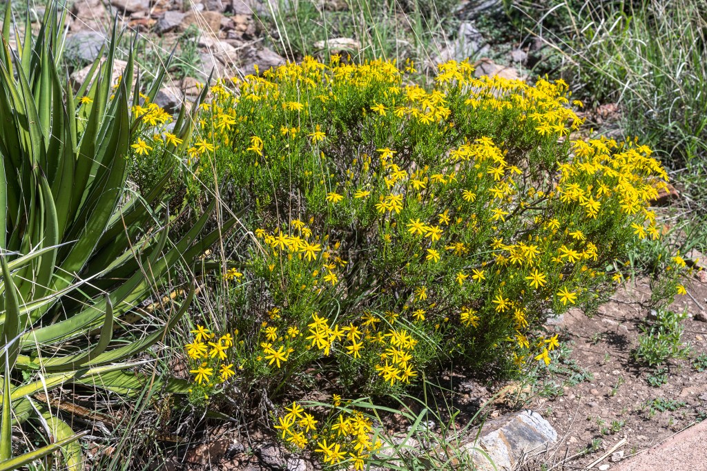
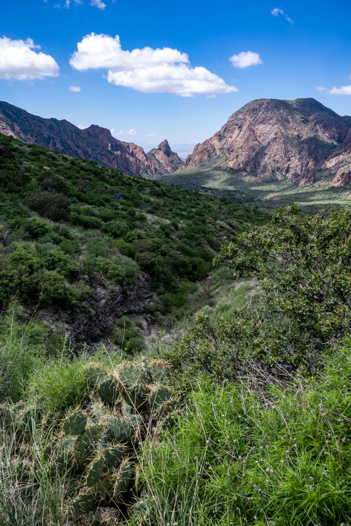
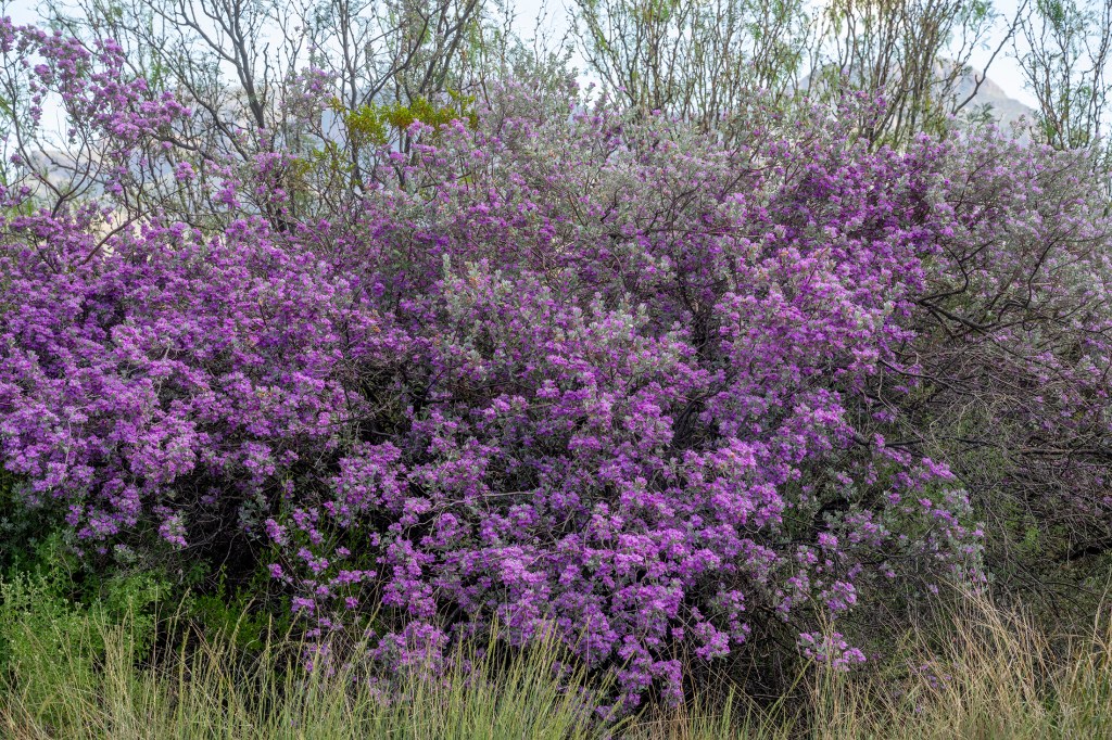
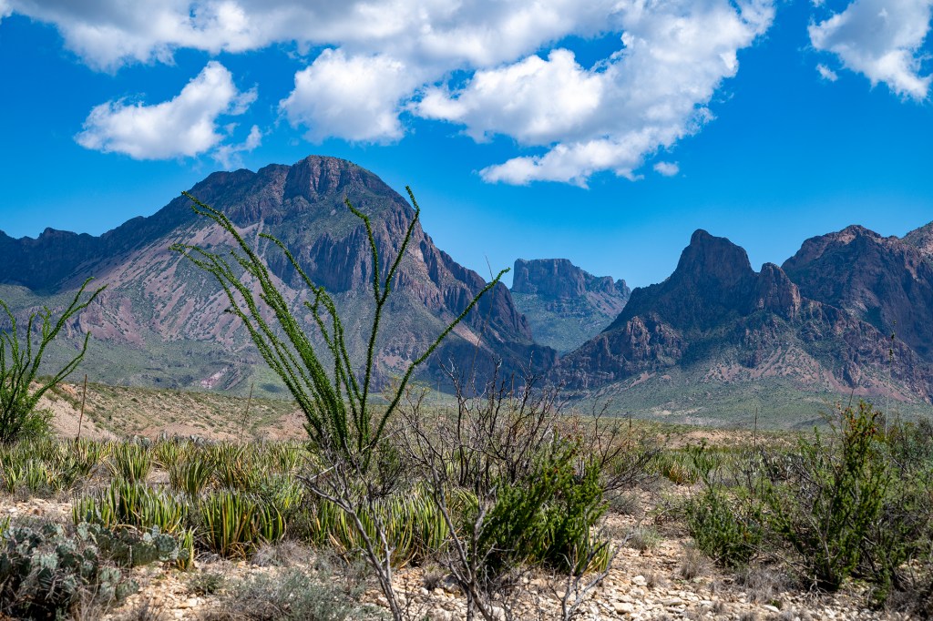
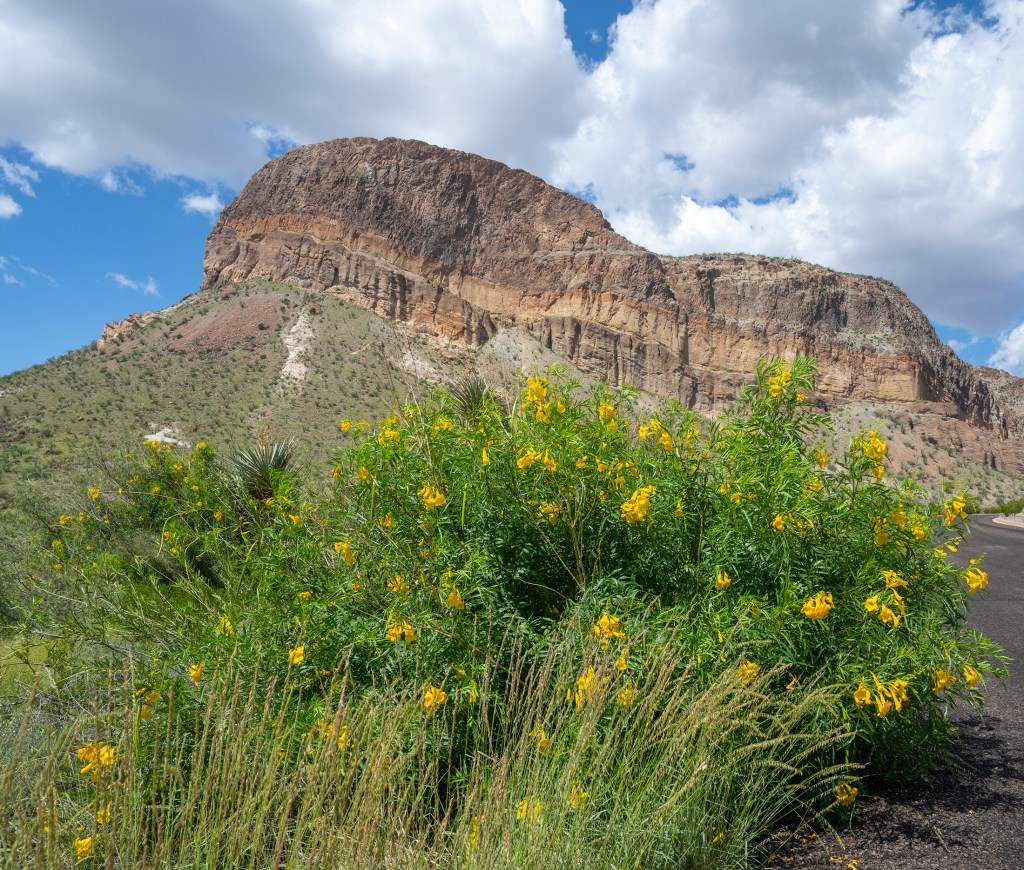
After breakfast the next morning and a visitor to Gage Gardens across the street, we headed south to Big Bend NP, an 800,000 acre park with spectacular views and varying terrain – mountains to desert, bordered on the south by the Rio Grande as it makes a big turn initially south, then north. Our first stop was at the Fossil Center with its’ excellently displayed dinosauric fossils and depictions of the area that was once 100′ under water. We then checked out the east end of the park down to Boquillas, followed by an enjoyable tour back to park central. With much recent rain, there was an unusual level of color especially with large areas of colorful Texas sage.
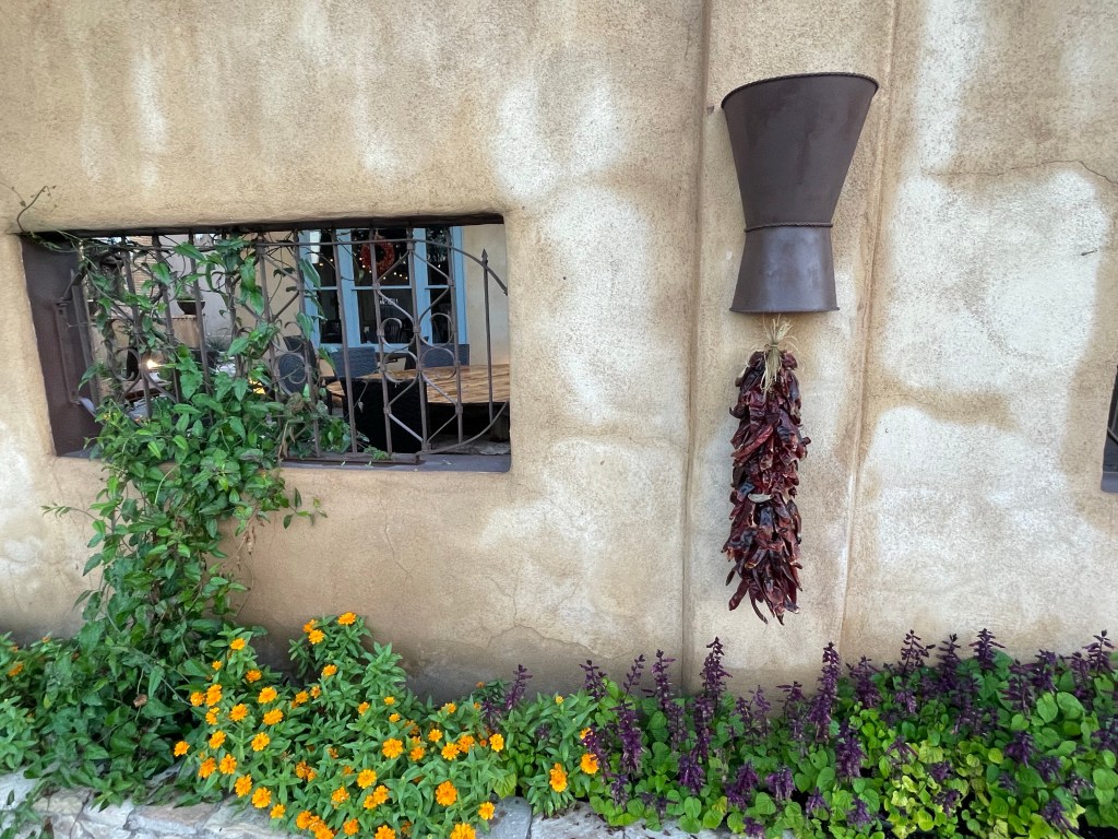
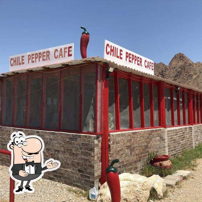
We checked in to our rental house, then joined old friends at the Chili Pepper Cafe in StudyButte for a home-style Mexican dinner. These were friends from the Austin area who are building a remote cabin in Study Butte, and an old photography friend who lives in Terlingua.
The next day we joined our photography friend Lee (an outstanding photographer) for a full day of touring the park. But first a stop at the Terlingua Ghost town cemetery.
Then a brief stop at Lee’s garden – another skill the man has. And a favorable review by Christopher, an accomplished landscape designer.
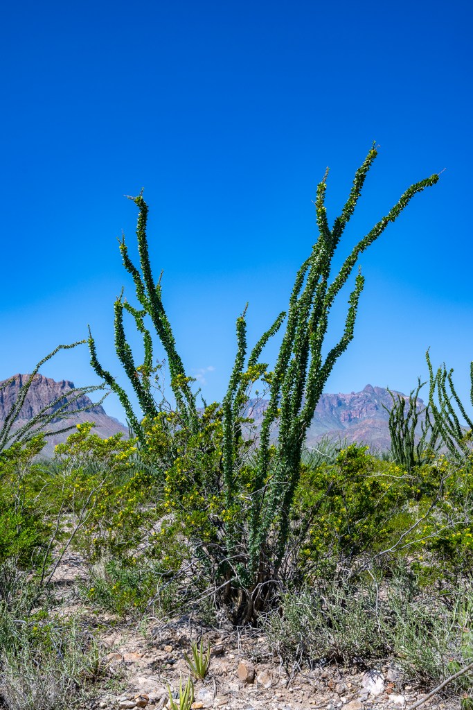
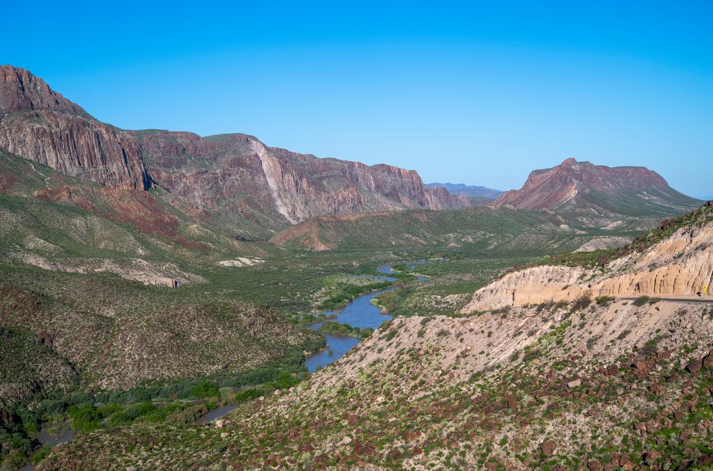
Then on to the park, from Chisos Basin at 5400′ elevation, and cooler weather, to the Ross Maxwell Drive with various stops along the way. There has been so much rain that the road from Castolon to Santa Elena Canyon was still closed due to high water in the Rio Grande. Nevertheless we had some wonderful views of a spectacular area.
The next day we headed to Marfa via Lajitas and Presidio. Christopher and I had a date for a tour at the Chinati Foundation in Marfa. But we did stop for a view of the river and hoodoos.
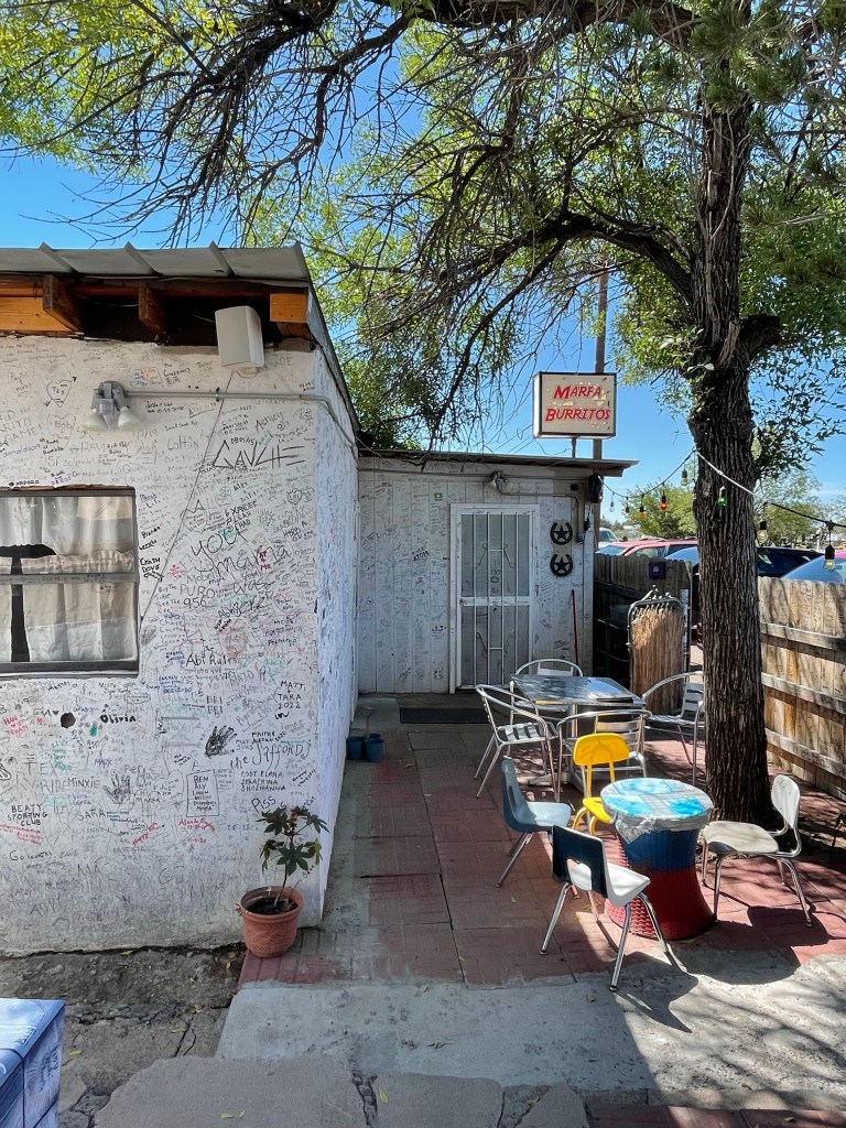
Arrived in Marfa at lunchtime. Chris found a highly rated burrito cafe; we stopped and ate great burritos in a very very casual environment, evidently visited by many well known people.
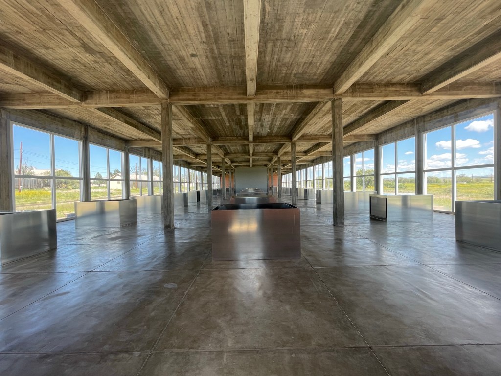
Next we checked in at the Saint George, a fairly new four story hotel in downtown Marfa. Then on to the Chinati Foundation for a three hour tour featuring three prominent contemporary artists. The museum was created based on the ideas of Donald Judd to link contemporary art and the surrounding land. The collection includes art from 13 artists; we viewed works by Judd, Dan Flavin and Robert Irwin.
The first of Judd’s two major “pieces” included 100 untitled works in mill aluminum in two ex-artillery sheds, each 41″ x 51″ x &2″ – all different and laid out with fascinating precision.
The second was 15 untitled works in concrete placed in a large open field; each was 2.5 x 2.5 x 5 meters.
Dan Flavin’s work, spread over six C-shaped old barracks buildings, illustrates his use of fluorescent lighting.
Robert Irwin developed the art of perception through manipulation of space and light.
After a quick dinner at the famous Paisano Hotel – where the stars stayed during the filming of Giant – we jumped in the card and headed to the “star party” at the McDonald Observatory in the Davis Mountains via the scenic route around the south and west side of this mountain range. The mountains are an irregular jumble of isolated peaks and ridges separated by flatter areas, and occupy a rough square about 50 km on each side.
The McDonald Observatory is an astronomical observatory located on Mount Locke in the Davis Mountains, and is part of the University of Texas. They operate four research telescopes, the largest of which is 10 meters across. During the summer the observatory holds star parties during which many constellations are identified and one gets an opportunity to view certain stars/planets through smaller telescopes. We had a wonderfully clear night and enjoyed seeing Jupiter, Saturn and a star cluster, as well as observing many constellations.
On our last day of the trip, Chris went to see Donald Judd’s home and workshop, while Karen and I strolled through some of the shops in Marfa.