Zion National Park

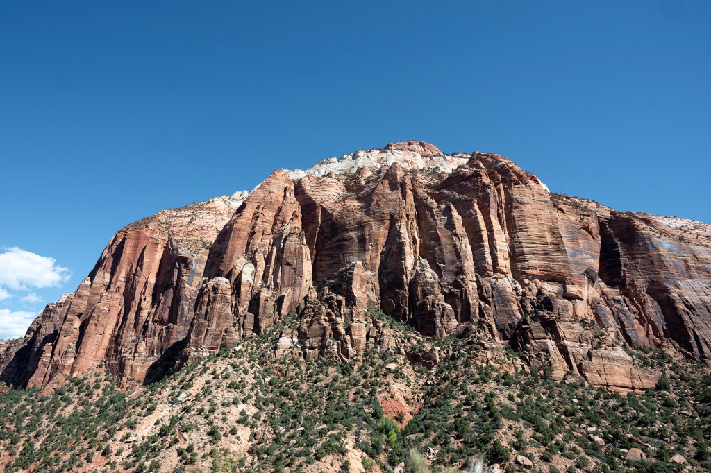
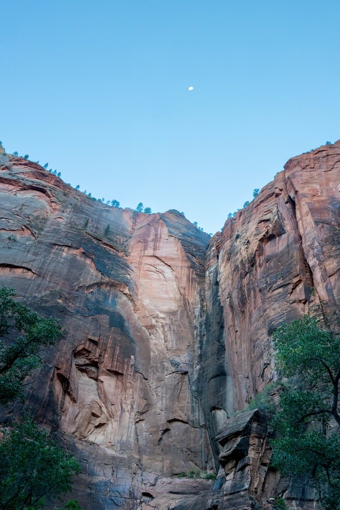
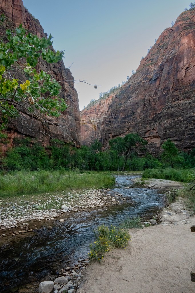
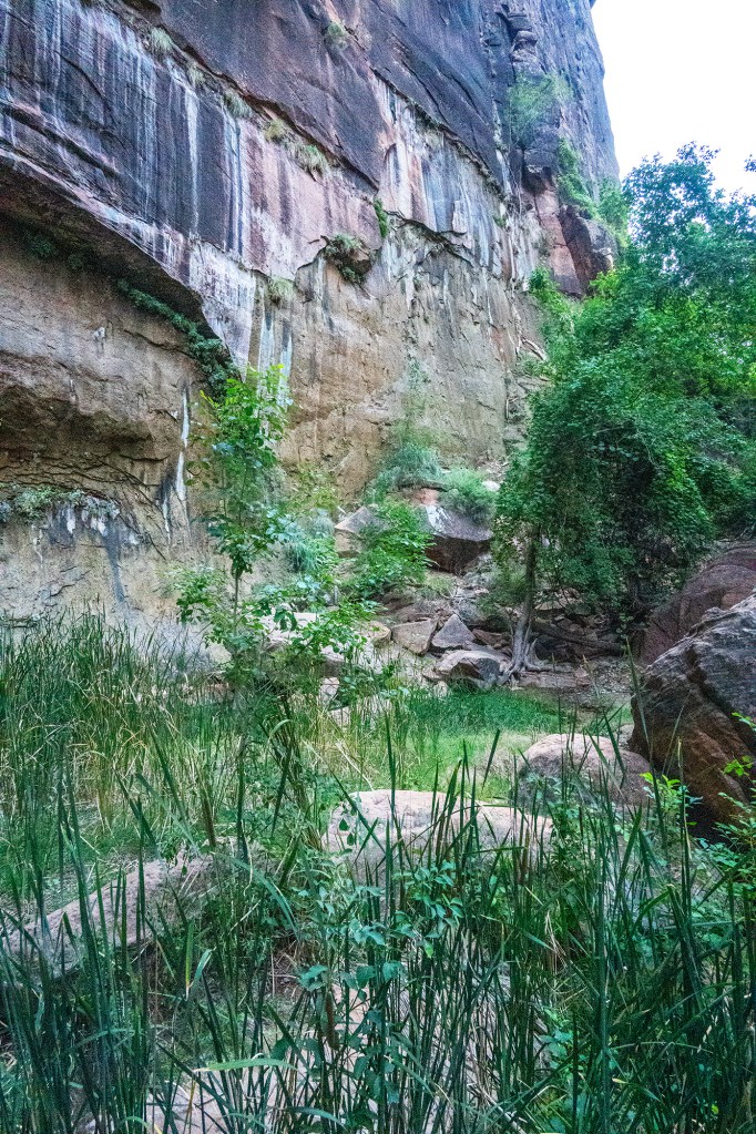
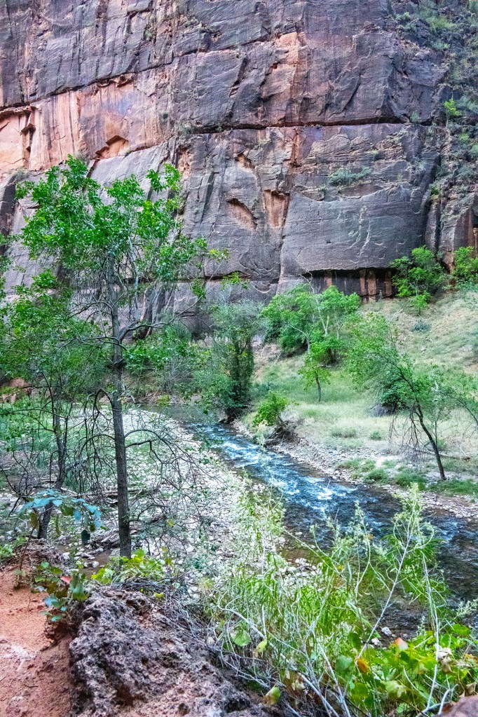
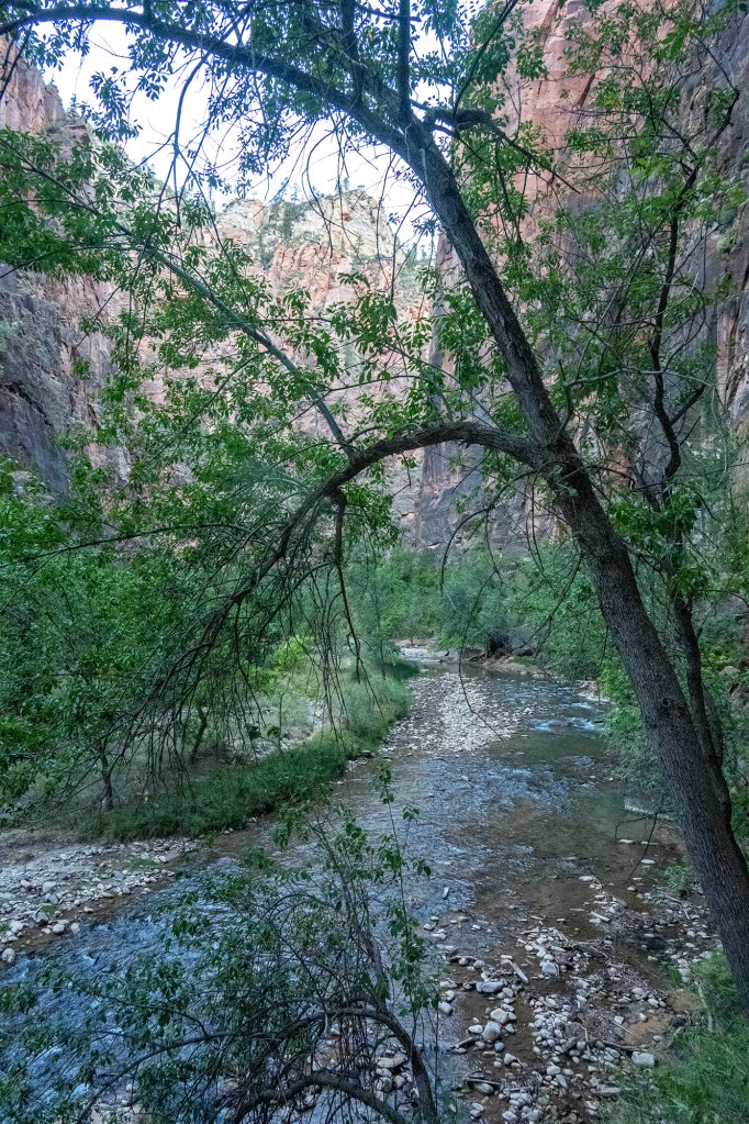
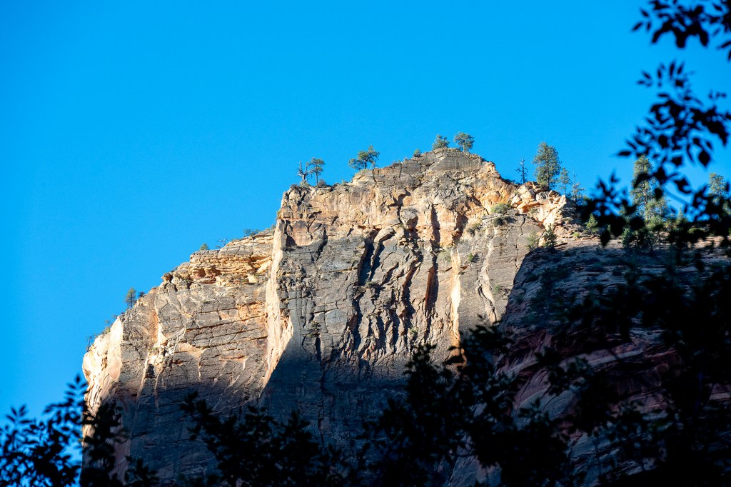
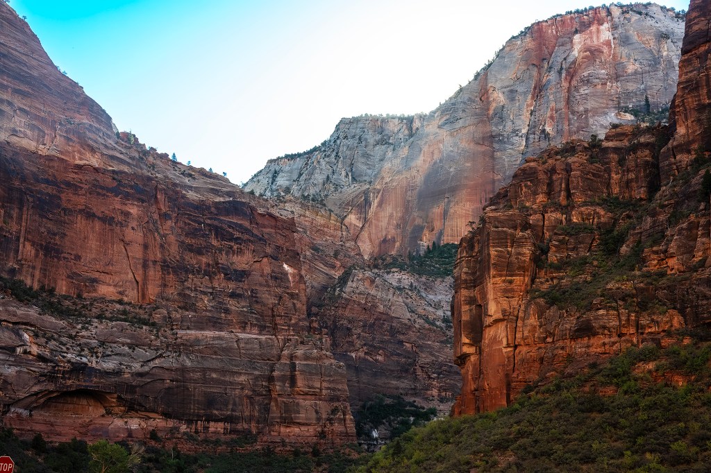
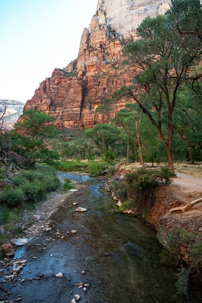
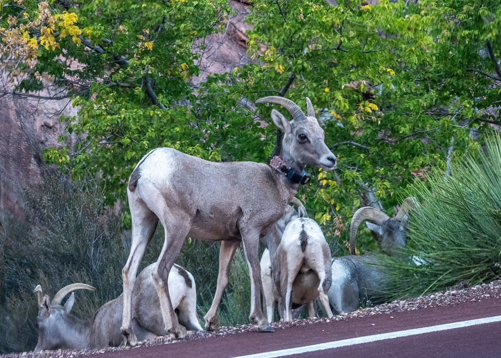
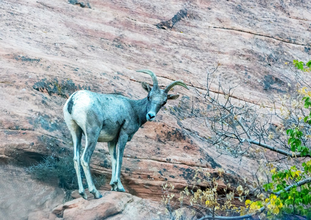
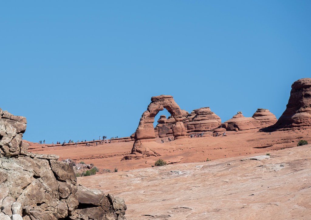
Zion, one of the US’s most popular parks, is located at the intersection of Three major ecosystems – Mojave Desert, Colorado Plateau and Great Basin Valley. It was established as a national park in 1919. The park is essentially a narrow valley in the midst of very tall formations, with the Virgin River flowing through. The river initially flows through a narrow slot canyon 100′ below sandstone cliffs. This section, called the Narrows, is a very popular hiking location which offers the experience of wading in the river for as far as six miles up a much longer canyon.

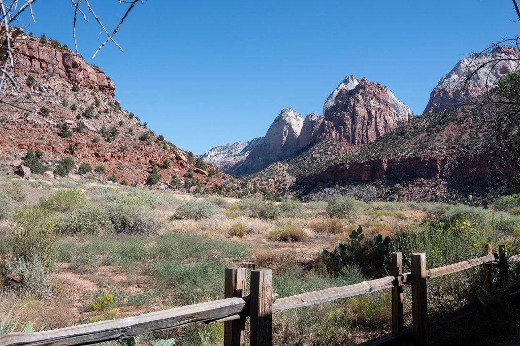
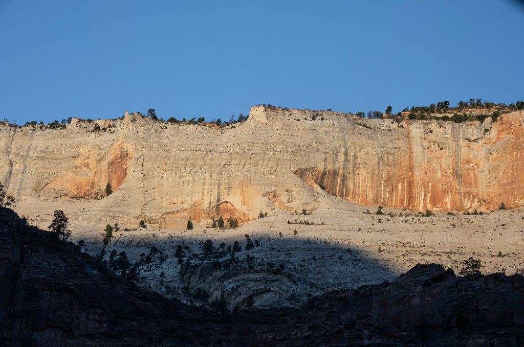
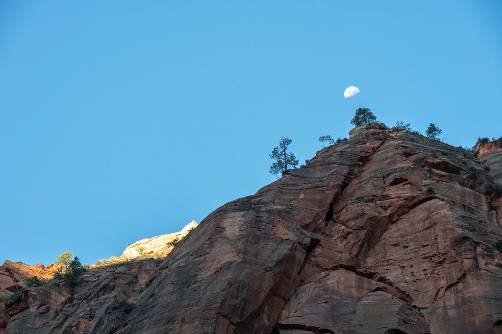
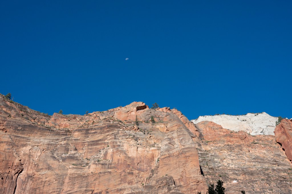
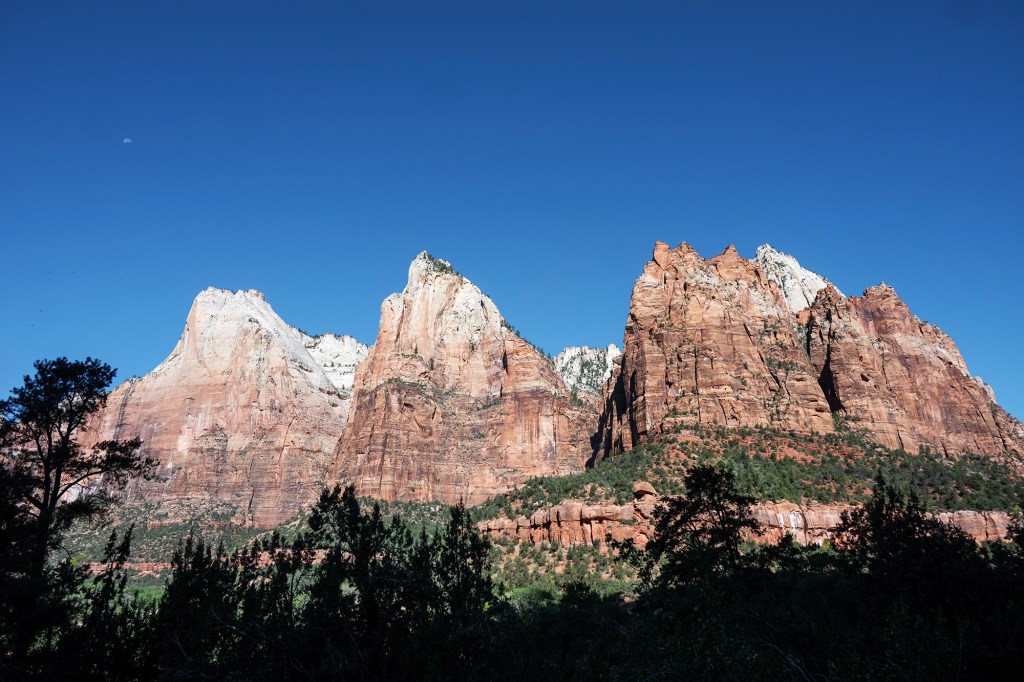
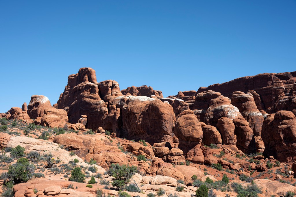
The main visiting area is the first six miles of the canyon, where the cream/pink/red sandstone cliffs soar far above the valley floor. There are four life zones in the park – desert, riparian, woodland and conifer forest. The end of the shuttle ride is the Temple of Sinawava, where a one mile trail then leads to the Narrows. There are some seven hiking trails in the park, from short to six miles long and steep.

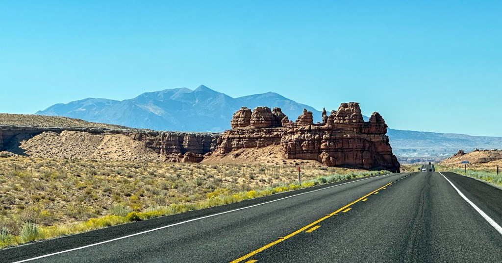
The main road from Springdale runs past the visitor center, climbs via switchback about five miles to a 1.1 mile long tunnel on the way to Mount Carmel and beyond. There are several viewpoints on the way up and beyond the tunnel.

Bryce National Park

Bryce is a top ten national park, one of several in Utah. It was discovered and named after Ebenezer Bryce, an early settler in the area, in 1874. It became a national park in 1928. The major feature of the park is Bryce Canyon. This is not a typical canyon, but is a collection of giant natural amphitheaters. They are distinctive for hoodoos – natural geological structures formed by frost weathering and stream erosion. The colors are dramatic with reds, orange and yellow colors.

Frost weathering is a mechanical weathering process that breaks down soil and rock through the freezing and thawing of water. The water seeps into cracks in rocks and freezes, expanding and putting pressure on the cracks to expand and break the rock.

The park offers numerous hiking and horse-backing opportunities. For those not so inclined, a 15 mile drive provides a significant number of overlooks which enable a wonderful view of the amphitheaters, as well as longer views of Escalante.

Capital Reef National Park

We left Moab and Arches and headed for Bryce National Park. Our route took us down 24S from I70 west via Hanksville and then through the narrow part of Capital Reef at Fruita. We then cut south on 12 to Boulder and Escalante to Bryce City. The scenery was spectacular down all along 24. The road then climbs to 11,313″ over Boulder Mountain and through the Dixie National Forest.

We found a neat little cafe in Boulder (Utah) called the Burr Trail Grill, which was well worth stopping at. The meal – and the craft beer – was great.

Colorado River

One evening we drove northeast of Moab to have dinner at the Red Bluff Inn, which sits right on the river about 10 miles from Moab. The terrain along the drive was incredible, and the following images were taken on my cell from the moving car.

Arches National Park

Located just 5 mil;es outside Moab, Utah, Arches National Park is a 73000 acre wonderland of eroded sandstone fins, towers, ribs, gargoyles, hoodoos, balanced rocks and , of course, arches. The park has over 2000 arches including Delicate, Double, Sand, Landscape, Broken, Window, Skyline and so on.

Arches is an easy park to visit, offering a reasonable drive with multiple viewpoints, some with short walks, some with longer hiking opportunities.

Park Avenue
Fiery Furnace
Delicate Arch
Skyline Arch